


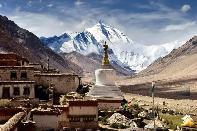
(TibetanReview.net, May01’20) – China has started a new – its seventh – round of measuring the height of the world’s highest peak which stands on the border between Nepal and Tibet on Apr 30, reported China’s official Xinhua news agency May 1. There is controversy over the exact elevation of the summit of Mt Everest (Tibetan: Jomolangma; Nepalese: Sagarmata; Chinese: Qomolangma) because of variations in snow level, gravity deviation, and light refraction.
The widely accepted figure of 29,028 feet (8,848 metres), plus or minus a fraction, was established by the Survey of India between 1952 and 1954. However China has persisted in giving its own height number to the peak. Between 1975 and 2005 it announced its height to be 8848.13 and 8844.43 metres above sea level. But these did not gain any semblance of acceptance, including from Nepal.
This time China is involving Nepal in the height measurement survey. The report has cited a joint statement signed between the two countries last October, committing them to promote cooperation in different fields, including addressing climate change and protecting the environment, and jointly announcing the height of Mount Qomolangma and conducting scientific researches.
The measurement team, consisting of members from China’s Ministry of Natural Resources (MNR) and the national mountaineering team, had arrived at the base camp of the peak for training on mountain climbing and surveying skills in the high-altitude region, making preparation for the measurement planned in May, said the Xinhua report.
The mission is being organized by the MNR, Ministry of Foreign Affairs, General Administration of Sport and government of Tibet Autonomous Region.
Referring to the significance of carrying out the mission this time, the report said this year marked the 65th anniversary of the establishment of diplomatic relations between China and Nepal, the 60th anniversary for human beings to reach the summit of Mount Qomolangma via the north ridge, as well as the 45th anniversary for China to accurately measure and announce the height of the peak for the first time.
The report noted that since the founding of the People’s Republic of China in 1949, Chinese surveyors had conducted six rounds of scaled measurement and scientific research on Mount Qomolangma.


